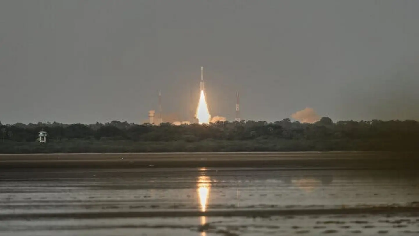
The NASA-ISRO Synthetic Aperture Radar (NISAR) satellite has transmitted its first set of radar images, marking a significant milestone in Earth observation technology. This joint venture between the U.S. and India is designed to provide an unprecedented view of our planet, enabling scientists to monitor a wide range of environmental phenomena. The initial images showcase the satellite’s capabilities in capturing detailed information about Earth’s surface, paving the way for crucial insights into climate change, natural disasters, and resource management.
Advanced Radar Technology
NISAR utilizes advanced radar technology, specifically Synthetic Aperture Radar (SAR), which allows it to penetrate clouds and darkness, providing high-resolution images regardless of weather conditions or time of day. This is particularly valuable for monitoring regions prone to frequent cloud cover or long periods of darkness, such as the Arctic and tropical rainforests. The satellite’s dual-frequency radar system, operating in L-band and S-band, enables it to gather data on various aspects of Earth’s surface, including vegetation, ice, and soil moisture.
The data collected by NISAR will be instrumental in understanding the impact of climate change on various ecosystems. By monitoring changes in vegetation cover, scientists can assess the health of forests and agricultural lands, and track deforestation rates. The satellite’s ability to measure soil moisture will also aid in predicting droughts and floods, allowing for better water resource management. Furthermore, NISAR’s observations of ice sheets and glaciers will provide valuable data on sea-level rise, helping to inform policies aimed at mitigating the effects of climate change.
Disaster Monitoring and Response
In addition to its role in climate change research, NISAR will also play a crucial role in disaster monitoring and response. The satellite’s ability to image through clouds and darkness makes it an invaluable tool for assessing damage after earthquakes, floods, and other natural disasters. By providing rapid and accurate information on the extent of damage, NISAR can help emergency responders to allocate resources more effectively and save lives. The satellite’s radar images can also be used to monitor volcanic activity, landslides, and coastal erosion, helping to identify areas at risk and prevent future disasters.
The NISAR mission represents a significant advancement in Earth observation technology, offering a comprehensive and detailed view of our planet. The data collected by the satellite will be freely available to researchers and policymakers around the world, fostering collaboration and accelerating the pace of scientific discovery. As climate change and natural disasters continue to pose significant challenges, NISAR’s observations will be essential for understanding these phenomena and developing effective strategies for mitigation and adaptation. This joint effort between NASA and ISRO underscores the importance of international collaboration in addressing global environmental issues and highlights the power of technology in advancing our understanding of the world around us.
Image Source: Google | Image Credit: Respective Owner