A new space mission is being developed to meticulously monitor the escalating sea-level rise, a consequence of climate change that threatens coastal communities worldwide. This mission, spearheaded by a consortium of international space agencies and research institutions, aims to provide unprecedented accuracy in measuring the rate and patterns of sea-level change.
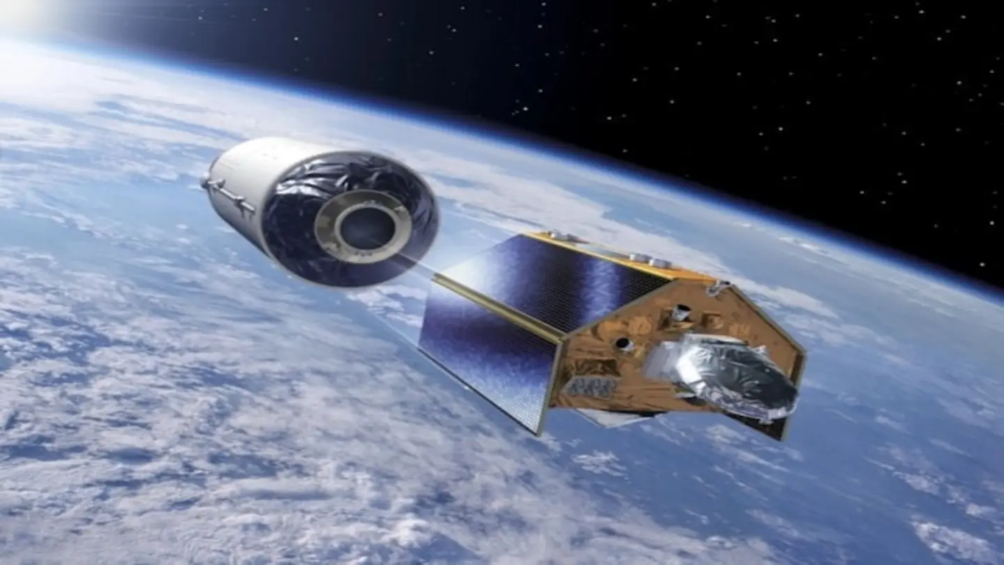
The project will deploy advanced satellite technology equipped with sophisticated radar altimeters and gravity-measuring instruments. These tools will enable scientists to distinguish between different factors contributing to sea-level rise, such as thermal expansion of water, melting glaciers and ice sheets, and changes in land water storage. The data collected will be crucial for refining climate models and predicting future sea-level scenarios.
Understanding the Drivers of Sea-Level Rise
One of the primary goals is to better understand the complex interplay between various environmental factors. For instance, the mission will investigate how changes in ocean currents and wind patterns affect regional sea-level variations. It will also assess the impact of melting ice from Greenland and Antarctica, which are major contributors to the overall rise.
Furthermore, the mission seeks to improve the accuracy of local sea-level projections. This involves developing higher-resolution models that take into account local geographical features and geological processes. Such detailed projections are essential for coastal planning and adaptation strategies, allowing communities to prepare for the challenges ahead. The collected data will be openly accessible to researchers, policymakers, and the public, fostering collaboration and informed decision-making.
Technological Innovations
The space mission incorporates several technological innovations, including enhanced radar altimeters capable of measuring sea-surface height with millimeter precision. These instruments will be complemented by advanced gravity-measuring satellites, which can detect subtle changes in the Earth’s gravitational field caused by the redistribution of water mass. Together, these technologies will provide a comprehensive picture of sea-level dynamics.
The mission also emphasizes the importance of long-term monitoring. By establishing a continuous record of sea-level changes over several decades, scientists can identify trends and patterns that might not be apparent in short-term observations. This long-term perspective is crucial for understanding the full extent of the problem and developing effective mitigation strategies. The insights gained will not only benefit coastal communities but also inform global climate policy and efforts to reduce greenhouse gas emissions.
The success of this mission hinges on international collaboration and data sharing. By pooling resources and expertise, the participating nations aim to address this critical global challenge effectively. The mission represents a significant step forward in our ability to understand and respond to the impacts of climate change on our oceans and coastlines.
Image Source: Google | Image Credit: Respective Owner