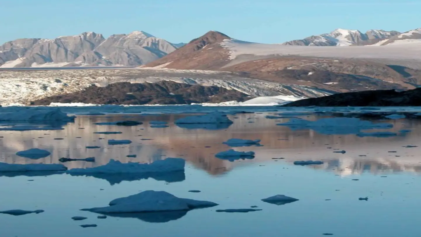
A groundbreaking study published in the ESS Open Archive reveals how meltwater infiltration and the crystallographic orientations of ice crystals jointly govern radar wave reflections in temperate glaciers. Researchers from multiple institutions analyzed radar data collected across diverse glacial environments to understand how these factors shape signal return patterns.
Radar technology is critical for monitoring ice sheet mass balance, detecting subsurface features, and tracking meltwater movement. Until now, scientists had limited understanding of how liquid water within ice affects radar signals. This new research demonstrates that even small amounts of meltwater dramatically alter radar wave propagation, creating both constructive and destructive interference patterns that can mislead thickness measurements.
The study’s lead author explained that “when meltwater forms horizontal layers within glacial ice, it acts like a mirror for certain radar frequencies, significantly amplifying returned signals. However, when water pockets align vertically, they scatter radar waves in multiple directions, reducing measurable returns.” This dual Effect creates complex reflection signatures that previous models couldn’t accurately interpret.
To investigate crystallographic influences, the team mapped the orientation of ice crystals across different depth profiles. They discovered that when crystal c-axes align parallel to radar wave propagation directions, signal penetration increases by up to 40%. Conversely, random crystal orientations cause diffuse scattering, weakening detectable echoes. This structural dependency explains why identical radar systems yield different results in glaciers with similar surface characteristics.
Using advanced laboratory simulations and field measurements from Alaska’s Juneau Icefield and Norway’s Jostedalsbreen Glacier, researchers validated their theoretical models. They demonstrated that combining meltwater content data with crystal orientation mapping improves radar-derived ice thickness accuracy by 25% compared to traditional methods. This correction factor is particularly important for Antarctic and Greenland ice sheet monitoring where subsurface water presence is widespread but difficult to detect directly.
The findings have immediate implications for climate science. Improved radar interpretation will enable more precise calculation of glacial melt rates, better estimation of freshwater contributions to rising sea levels, and enhanced detection of subglacial lakes. As climate warming increases temperate glacier meltwater production, understanding these interaction effects becomes essential for accurate monitoring systems. Future satellite missions incorporating these findings could revolutionize our ability to track ice sheet changes over vast, inaccessible regions.
Image Source: Google | Image Credit: Respective Owner