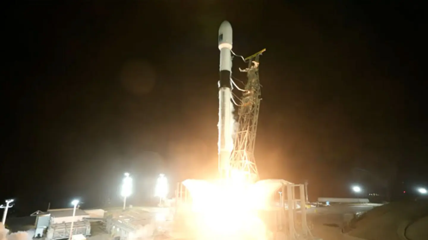
The Sentinel-6B satellite, the second in the Copernicus Sentinel-6 mission, has been successfully launched to continue critical monitoring of global sea levels. This mission, a collaborative effort between the European Space Agency (ESA), NASA, EUMETSAT, and NOAA, is crucial for understanding and addressing the impacts of climate change. Sentinel-6B will provide highly accurate measurements of sea-surface height, contributing to a decades-long record essential for climate research and informed policy decisions.
The Sentinel-6 Mission: A Legacy of Accuracy
The Sentinel-6 mission builds upon previous ocean altimetry missions, offering enhanced precision and reliability. The satellites use radar altimeters to measure the distance from the satellite to the sea surface. These measurements, combined with precise satellite tracking data, allow scientists to determine sea-surface height with remarkable accuracy. The data gathered is vital for tracking sea-level rise, understanding ocean currents, and improving weather forecasting models.
How Sentinel-6B Will Work
Sentinel-6B employs a sophisticated suite of instruments to ensure data accuracy and reliability. Its primary instrument, the Poseidon-4 radar altimeter, bounces radar signals off the ocean surface, measuring the time it takes for the signal to return. This data is then used to calculate sea-surface height. The satellite also carries microwave radiometers to correct for atmospheric water vapor, which can affect the radar signals. Additionally, precise orbit determination systems ensure the satellite’s position is known with extreme accuracy.
The mission’s data will be used to monitor long-term changes in sea level, which is a key indicator of climate change. Rising sea levels threaten coastal communities and ecosystems worldwide. By providing accurate and consistent measurements, Sentinel-6B will help scientists understand the rate and causes of sea-level rise, enabling better predictions and adaptation strategies. The data also supports operational applications, such as improving the accuracy of ocean weather forecasts and aiding ship navigation.
International Collaboration for a Global Challenge
The Sentinel-6 mission exemplifies international cooperation in addressing global challenges. The ESA is responsible for the overall mission management, while NASA contributed key instruments and launch services. EUMETSAT operates the satellites and processes the data, and NOAA supports data distribution and scientific analysis. This collaborative approach ensures the mission’s success and maximizes its impact on climate research and policy.
With Sentinel-6B now in orbit, the mission is poised to continue providing invaluable data for years to come. The data collected will be essential for tracking sea-level rise, understanding ocean dynamics, and informing strategies to mitigate the impacts of climate change. This mission underscores the importance of sustained Earth observation for addressing the complex challenges facing our planet.
Image Source: Google | Image Credit: Respective Owner