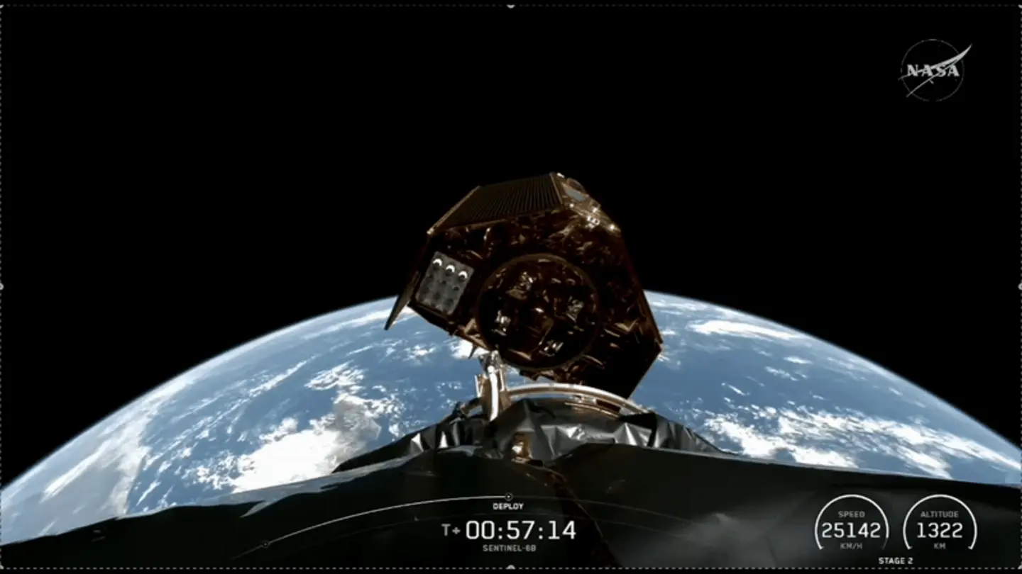
The European Union’s Copernicus Sentinel-6B satellite has been successfully launched, marking a significant step forward in monitoring global sea levels. Developed under the umbrella of the Copernicus program, a joint initiative of the European Commission and the European Space Agency (ESA), Sentinel-6B will work in tandem with its predecessor, Sentinel-6A, to provide highly accurate measurements of ocean surface topography.
Thales Alenia Space, a joint venture between Thales (67%) and Leonardo (33%), played a crucial role in the mission, serving as the prime contractor for the satellite. The launch, which took place from Vandenberg Space Force Base in California, utilized a SpaceX Falcon 9 rocket to propel the satellite into its designated orbit.
Mission Objectives
The primary objective of the Sentinel-6 mission is to provide precise and reliable measurements of sea-level changes. These measurements are crucial for understanding the impacts of climate change, including rising sea levels, which pose a significant threat to coastal communities and ecosystems worldwide. The data collected by Sentinel-6B will complement the data already being gathered by Sentinel-6A, launched in November 2020, enhancing the accuracy and resolution of sea-level monitoring.
The satellite is equipped with a sophisticated radar altimeter that measures the distance between the satellite and the ocean surface. By combining these measurements with precise orbit determination, scientists can calculate sea levels with unprecedented accuracy. This data is then used to create detailed maps of ocean surface topography, which reveal variations in sea level across the globe.
The Sentinel-6 mission builds upon decades of ocean altimetry data collected by previous satellites, such as Topex/Poseidon and Jason-1, -2, and -3. By continuing this long-term monitoring effort, Sentinel-6 provides a valuable record of sea-level changes over time, allowing scientists to track trends and identify potential threats.
Benefits of Accurate Sea-Level Monitoring
The accurate sea-level data provided by Sentinel-6 has numerous benefits. It is used to improve climate models, which help scientists predict future sea-level rise and its potential impacts. The data also supports a wide range of applications, including navigation, coastal management, and offshore operations. By providing timely and accurate information about sea levels, Sentinel-6 helps decision-makers make informed choices about how to adapt to climate change and protect vulnerable coastal areas.
The Sentinel-6B satellite is expected to operate for at least five years, continuing the vital work of monitoring Earth’s oceans and providing crucial data for climate research and adaptation efforts. The successful launch of Sentinel-6B reinforces the European Union’s commitment to addressing climate change and promoting sustainable development.
Image Source: Google | Image Credit: Respective Owner