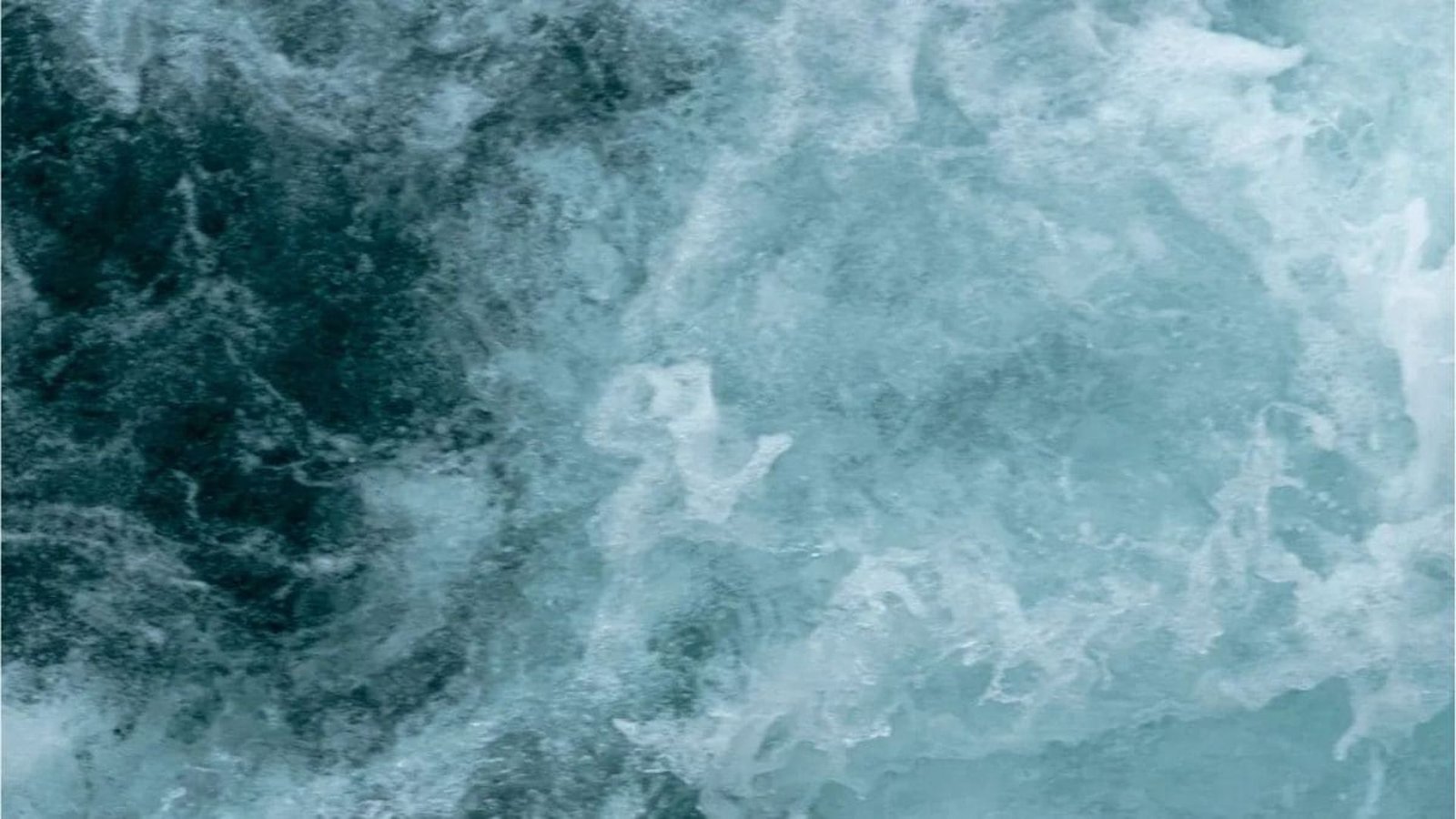
Satellites have captured unprecedented 20-meter waves traversing entire oceans, marking a significant milestone in oceanographic observation. These massive waves, far exceeding typical ocean swells, pose potential risks to maritime activities and coastal regions, underscoring the importance of advanced monitoring systems. The data collected provides invaluable insights into extreme weather patterns and their impact on our planet’s oceans. The observations were made possible by sophisticated satellite technology equipped with radar altimeters capable of precisely measuring wave heights and ocean surface topography. These instruments enable scientists to identify and track the movement of these colossal waves across vast distances.
The Role of Satellites in Ocean Monitoring
Satellites play a crucial role in monitoring ocean conditions, providing comprehensive data that is otherwise difficult to obtain. Their ability to cover large areas and penetrate cloud cover makes them indispensable tools for tracking storms, measuring sea levels, and monitoring wave patterns. The information gathered helps improve weather forecasting and enables better preparedness for coastal hazards. The recent detection of these record-breaking waves highlights the capabilities of these advanced monitoring systems.
Researchers are now analyzing the data to understand the factors contributing to the formation and propagation of these extreme waves. Preliminary findings suggest that powerful storms and unusual atmospheric conditions may be responsible. Understanding these mechanisms is crucial for predicting future occurrences and mitigating potential risks. The data is also being used to validate and refine existing wave models, improving their accuracy and reliability.
Implications for Maritime Activities and Coastal Regions
The presence of 20-meter waves poses significant challenges for maritime activities, including shipping and offshore operations. These massive waves can damage vessels, disrupt navigation, and endanger lives. Coastal regions are also vulnerable to the impacts of these waves, which can cause erosion, flooding, and damage to infrastructure. Improved monitoring and forecasting capabilities are essential for protecting these vulnerable areas.
The information collected by satellites is shared with various stakeholders, including maritime agencies, coastal communities, and research institutions. This collaborative effort helps ensure that timely warnings are issued and appropriate measures are taken to mitigate the risks associated with these extreme waves. Ongoing research and technological advancements will further enhance our ability to monitor and predict ocean conditions, contributing to safer and more sustainable maritime activities. The study underscores the increasing importance of leveraging space-based technologies to understand and manage the challenges posed by a changing climate and its impact on our oceans. The continuous monitoring by satellites provides a critical early warning system, allowing for proactive measures to be implemented, safeguarding both human lives and economic interests in coastal and maritime environments.
Image Source: Google | Image Credit: Respective Owner